
Travis ZIP Code Coverage Groups
The Travis County GIS ZIP layer has 63 selected polygon features where delivery areas intersect the county. This Travis ZIP code directory uses its PO_NAME field to group the working list, but it does not turn a postal name into a city boundary. The table gives practical orientation rather than asserting that each listed code has been individually verified for a particular address. USPS remains the delivery authority for a current address-level result.
| ZIP | Areas Covered | Post Office | Notes |
|---|---|---|---|
| 78610, 78612–78617 | Buda, Cedar Creek, Cedar Park, Coupland, Dale, and Del Valle postal areas | GIS PO_NAME values include Buda, Cedar Creek, Cedar Park, Coupland, Dale, and Del Valle | Official polygon rows; postal geography can cross city or county lines. |
| 78620–78645 | Dripping Springs, Elgin, Hutto, Kyle, Leander, Liberty Hill, and nearby postal areas | GIS PO_NAME values include Dripping Springs, Elgin, Hutto, Kyle, Leander, and Liberty Hill | Includes a second Leander postal-name row, 78645. |
| 78652–78669 | Manchaca, Manor, Marble Falls, Pflugerville, Round Mountain, Round Rock, and Spicewood areas | GIS PO_NAME values include Manchaca, Manor, Marble Falls, Pflugerville, Round Mountain, Round Rock, and Spicewood | Official polygons include fringe and cross-boundary delivery areas. |
| 78701–78705 | Central, south, and older central Austin postal areas | Austin | Five official GIS polygon rows. |
| 78712, 78719, 78721–78723 | University, airport, and east Austin postal areas | Austin | Postal lines do not establish campus or city limits. |
| 78724–78738 | Northeast, east, north metro, northwest, lake, southwest, and western metro portions | Austin | Official GIS polygon rows grouped from the working list. |
| 78739, 78741–78759 | South, east, southeast, west, southwest, central-north, and northeast Austin postal areas | Austin | Official GIS polygon rows grouped from the working list. |
| 73301, 73344, 78691, and listed 78708–78799 special codes | Austin or Pflugerville delivery context | USPS verification required | Unique, administrative-style, PO-box-style, non-active, or non-polygon possibilities; do not plot as ordinary parcel areas. |
The official Travis County ZIP GIS layer is the source for the selected polygon coverage.
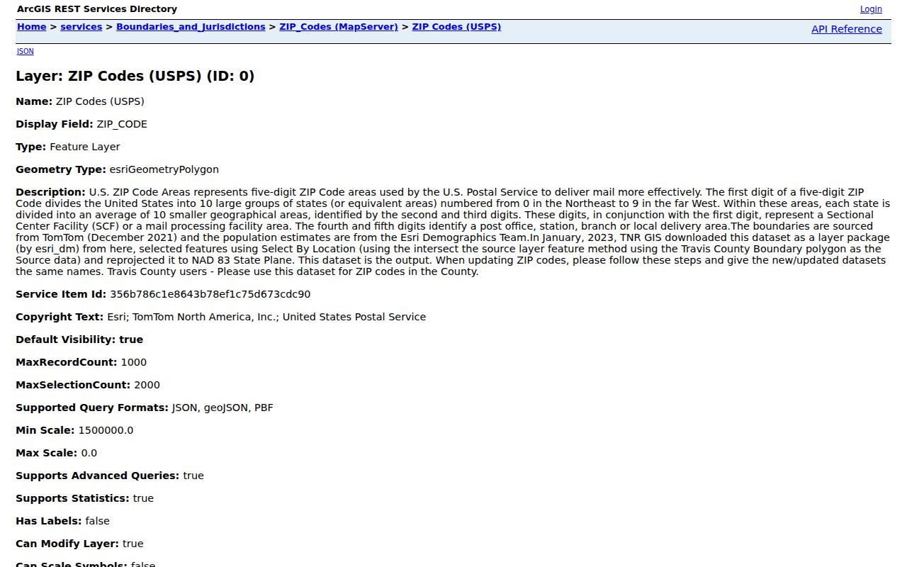
The layer also carries area, 2021 population, population-density, and precinct-intersection fields, which describe the mapped polygons rather than a current resident count.
Travis ZIP Code Delivery Layers
A ZIP code has two different local uses. USPS assigns it for mail delivery. Travis GIS uses selected delivery-area geometry to help map the county. The two layers can work together, but neither proves who receives mail at a given address or whether that address lies in the City of Austin. The county service identifies its source as USPS ZIP-code areas with TomTom December 2021 boundaries, Esri population data, and a Travis County selection and reprojection. That is useful mapping context, not a legal boundary.
The USPS AIS Viewer supplies the delivery-side comparison, including city and state, delivery type, county retrieval, ZIP+4, route, and delivery-point or address lookup. It is updated monthly in the described product. Street, rural, PO box, general delivery, unique, military, and non-active are delivery categories. A code that has no ordinary county polygon may still need an AIS check before any conclusion is drawn.
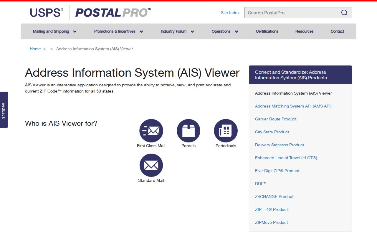
The delivery view fills the non-polygon gap that a county map cannot resolve by itself.
Note: A GIS ZIP shape is a geographic aid, while a USPS result is the better source for a current delivery code and ZIP+4.
Verify a Travis ZIP Code
Use the full street address whenever it is available. The official USPS tool accepts a street address with city and state, or a city and state search. USPS cautions that a result does not confirm that a particular person or organization is at that address. Treat the returned ZIP as a delivery finding, then compare it with the Travis GIS polygon and the local address-jurisdiction profile. This is especially important for a Travis address that uses an Austin postal city but receives services from another municipality or the county.
- Enter the exact address in USPS ZIP Lookup and record the returned ZIP, city-state presentation, and any ZIP+4 result.
- Use AIS when delivery type, route, county retrieval, or a non-polygon code needs a closer check.
- Query the Travis GIS ZIP_CODE layer to see the county's mapped delivery-area context and its precinct flags.
- Check Austin Address Management or the relevant local government record to identify the jurisdiction, parcel, annexation, and unit details.
- Use the appropriate municipal or county custodian only after the jurisdiction is clear.
The USPS ZIP Code Lookup is the official first step for delivery verification.
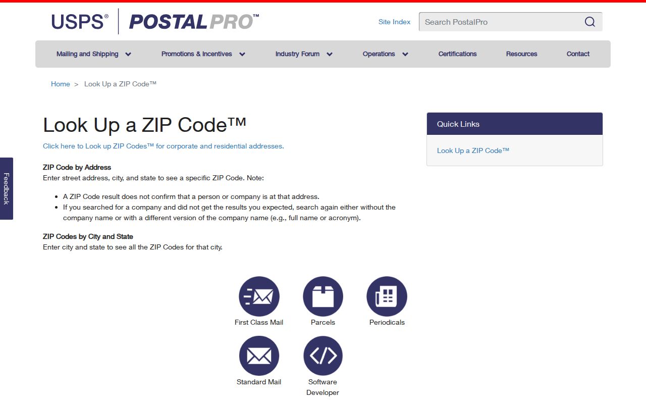
An address-level USPS response narrows a delivery question without becoming evidence of a person at the address.
Travis ZIP Code Registry Search
Austin's Community Registry is the clearest local search that accepts a five-digit ZIP. It is an organization registry, not a resident roll. The registry was established in 1996, organizations update their entries annually, and the public-data layer refreshes monthly. A blank search lists registered organizations. A ZIP result can use a mailing or PO-box ZIP, so it supplies civic context rather than a mapped boundary or a private membership list.
| Community Registry field | Search or result meaning |
|---|---|
| Organization name | Searches a registered civic organization by name. |
| Five-digit ZIP | Finds organization entries using the listed ZIP field. |
| Blank search | Lists all registered organizations. |
| Organization detail | Can show organization name, public contact, member count, meeting information, declared boundaries, and update date. |
The Austin Community Registry search provides that ZIP-focused organization layer.

A registry entry can explain neighborhood context, but it cannot establish that a particular person belongs to the organization.
Travis ZIP Code Voter Limits
Texas My Voter Portal may use ZIP as an individual disambiguation field. It is not an open ZIP-wide voter list. The portal's documented search routes use a VUID, a Texas driver-license number when supplied during registration, or a first and last name. County, date of birth, and ZIP can be additional current fields. A result should be checked against county, VUID, and status, not treated as proof of a current household.
| Voter field | ZIP-related limit |
|---|---|
| First and last name | Name route; spelling must match the registration record. |
| County | Helps separate statewide names using Travis County as the location key. |
| Date of birth | Portal-dependent identity match field that should not be republished unnecessarily. |
| ZIP | Portal-dependent narrowing field, not a residence-history or ZIP-wide roll. |
| VUID or supplied driver-license number | Separate individual search routes with protected-output limits. |
The Texas voter portal is the statewide individual route.
Protected voter addresses and identifiers remain confidential, even when a ZIP is part of an individual search.
Travis ZIP Code Parcel Context
TCAD and county GIS are useful after a ZIP narrows the geography, but neither is a ZIP-wide household directory. TCAD's inspected property search offers owner name, property address, account number, DBA, generic Search, Property Search, and Map Search. It does not expose a reliable ZIP-wide result mode. Use a property address, owner, account, or map result parcel by parcel. The GIS service can query ZIP_CODE and return polygons and attributes, but it does not return a current resident roll.
A parcel result can distinguish property situs from a mailing address, identify an owner, and supply an account or legal description. It cannot establish occupancy. Once a ZIP is narrowed to a named street and an address, the address-focused Travis residents by street resource is the appropriate next record path.
Travis ZIP Code Jurisdiction Layers
“City of Austin,” “Austin postal city,” “Travis County,” and “Austin full-purpose jurisdiction” can identify different things. A suburban or unincorporated address may have an Austin ZIP or mailing city while using county, municipal, school, utility, or emergency-service systems that do not match the postal label. Del Valle, Manchaca, Coupland, Spicewood, and Cedar Creek are examples of postal-name communities in the county ZIP layer whose names do not establish city limits. The edge areas of 76574 and 78681 are verification cases, not ordinary countywide coverage.
Austin Address Management Services provides the municipal check for a service address. Its property profile can show parcel ID, county, jurisdiction, council district, buildings and units, Place ID or RSN, annexation history, legal description, and zoning. This address-point layer is especially useful where a ZIP crosses a city boundary or a mult-unit address needs the building and unit separated before a record search.

The jurisdiction profile helps route an address to Austin, another municipality, or unincorporated Travis County without relying on the postal city alone.
Note: Preserve both the delivery ZIP and the confirmed jurisdiction because adjacent addresses can share a postal label but have different record custodians.
Travis ZIP Code Definitions
These delivery terms explain why a code on a map, a mailing label, and a government record can point to different layers. Use the exact address and date with each term. Historic Austin addresses can also predate ZIPs, so directories, maps, tax rolls, deeds, and old street names may be needed for an earlier address question.
- ZIP Code
- A USPS delivery code. It is not a municipal boundary, parcel boundary, or resident list.
- ZIP+4
- An added delivery detail used to refine mail routing beyond the five-digit ZIP.
- PO-box ZIP
- A code associated with post-office-box delivery. It may not map as an ordinary street-delivery polygon.
- Unique ZIP
- A delivery code used for a particular institutional or administrative context and requiring current USPS confirmation.
- Carrier route
- A USPS delivery-routing category that can distinguish types of service but does not prove occupancy.
Travis ZIP Code Verification Fallbacks
For a disputed address, run the exact address through USPS ZIP Lookup and AIS, then compare the result with the Travis GIS polygon and an Austin Address Management jurisdiction profile. TCAD and GIS provide parcel context. Local city or county offices answer service-address and jurisdiction questions. USPS supplies delivery ZIP and ZIP+4. For a historic address, Austin History Center directories, street-name records, maps, tax rolls, and deeds can bridge a modern street name to an earlier one. The ZIP code directory is only the starting geography for that process.
For a ZIP-wide civic question, use the Community Registry's five-digit ZIP field and remember that it may be a mailing ZIP. A public-information request can seek existing GIS metadata or address tables from the custodian. It cannot require an office to create a USPS resident list. The research did not expose a current official table classifying every non-polygon, PO-box, or unique code without AIS product access, so those codes should receive current USPS verification.
Travis ZIP Code Privacy Limits
A ZIP code can group mail delivery or civic organizations, but it should not be used to infer a person's home, affiliation, or present status. Public voter fields have protected identifiers and confidentiality programs. Community Registry entries are organizational data rather than private member rosters. A parcel owner, permit applicant, or organization contact also may not be the current resident at a property. Keep the record type and its date beside every ZIP-based result.
Lawful use. Use Travis ZIP information for lawful personal research and verify it with the custodian. Do not use delivery or record details to threaten, follow, intimidate, or harass another person.