
Read Travis Neighbor Sources
Block research begins by matching the question to the right record. The GIS parcel layer shows the shapes around an address. Travis Central Appraisal District, or TCAD, supplies appraisal and owner context for each selected parcel. Recorded deeds supply transfer parties and legal descriptions. Austin addressing and municipal records can add an address-history layer within their jurisdiction. The Community Registry supplies organization context, not a household roster. Read each row as evidence about a parcel, event, organization, or status, rather than as a statement that a person is at an address today.
| Source | Block evidence | Access |
|---|---|---|
| GIS parcel layer | Adjacent polygons, parcel IDs, road frontage, jurisdiction, ZIP and precinct overlays | Free map and REST service; select one polygon at a time |
| TCAD | Owner and appraisal context plus situs and mailing fields for each selected parcel | Free account or address search; no occupancy conclusion |
| Recorded deeds | Transfer parties and legal descriptions in a parcel’s chain | Modern online index; older microfilm or Archives route |
| Austin Address Management | Valid range, unit, jurisdiction, annexation, and address-history clue | Free property profile within its service scope |
| Austin permits or code cases | Date-stamped work or case history tied to an address | Austin public search or request route only |
| Voter portal | Individual registration status when a known person is queried | Public status lookup, not an assumed block display |
| AHC criss-cross directory | Historical occupant or subscriber lead by address | 1957 forward with gaps; onsite or library access |
| Community Registry | Organization boundaries, meetings, public contact and member-count context | Search by organization name or five-digit ZIP; no private roster |
Owners and people present at an address are different categories. A mailing address can belong elsewhere, an appraisal account can have multiple owners, and a community organization can describe a boundary without proving anyone’s membership. For block questions, keep the source, the date, and the parcel ID with every note.
Travis Neighbor Boundaries in GIS
The Travis County GIS viewer offers an address-or-parcel route to surrounding parcels and government boundaries. It is a geographic context tool. A user can zoom to a street, select an adjacent polygon, inspect its attributes, and carry the parcel or account identifier into TCAD. The map may also show jurisdiction, ZIP, or precinct overlays. Those overlays can explain why nearby addresses use different public custodians, but they do not settle ownership, residency, or a community-group boundary.
Visible map controls can change. If a measurement, selection, or radius control is available, use the active layer and popup to define the frontage or block under review. Keep a note of what was selected. “Nearby” can be wider than “touching,” particularly where an alley, common area, or right-of-way separates two parcels.
Note: A self-declared civic boundary and a GIS parcel boundary serve different purposes and should not be merged.
Travis Neighbors in TCAD Accounts
TCAD has four useful property-search modes: owner name, property address, account number, and DBA. Its generic Search input works with Property Search and Map Search. For an address that misses, the search guidance advises omitting street suffixes such as St, Dr, Ln, Ave, Rd, or Cv, or trying the street name alone. The selected parcel’s account or PID is the cleanest crosswalk after a GIS selection.
An appraisal account can show owner name, mailing address, situs location, account or PID, legal description, market or appraised value, exemptions, and, where offered, characteristics or a sketch. That is parcel evidence. The situs identifies the property location. The mailing field is appraisal or tax correspondence and may point to an owner, representative, lender, or another place. Neither field identifies every person connected to the block.
Individual Voter Checks on a Travis Block
Texas voter registration is administered statewide through VoteTexas resources and locally through the Travis County Tax Office. The public My Voter Portal supports routes using a Texas Voter Unique Identifier, or VUID, a Texas driver-license number supplied during registration, or first and last name. Current guidance also describes a name, county, date-of-birth, and ZIP route. Use the live form for its current fields and treat a result as registration and election-status information, not an occupancy record.
For local voter-registration context, consult the Travis County Tax Office.
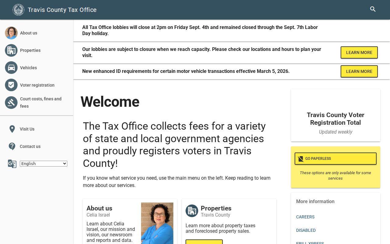
A name hit should be checked against county, county of residence, VUID, and status. Registration can be in suspense after returned mail or another address question, and a voter result must not be used to reconstruct a protected address or to create an open block list.
Note: Registration status is a limited government-status record and does not establish a current household or block connection.
Travis Neighbor Community Context
Austin’s official Community Registry is the current civic layer for an address-area question. Established in 1996, it is updated annually by organizations and monthly in the public-data layer. A search accepts an organization name or five-digit ZIP, while a blank search lists registered organizations. Public fields can include organization name, primary contact, member count, meeting information, declared boundaries, and updated date. The ZIP may be a mailing or PO-box ZIP, so it is not a membership polygon.
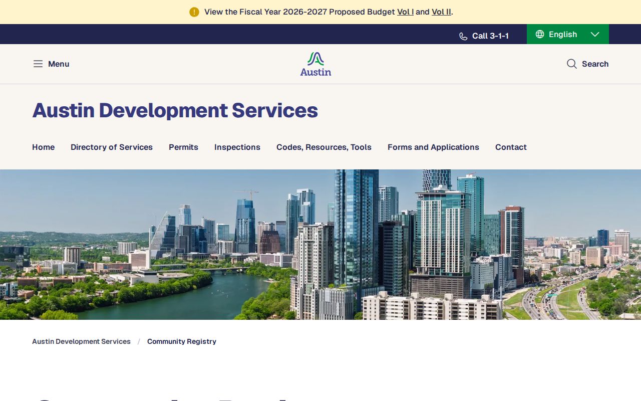
The registry’s public contact route is organization-level. It is useful for meeting and boundary context, not for deciding whether a person at a parcel belongs to an association.
| Registry or civic organization | Official context to seek | Public contact path |
|---|---|---|
| Austin Neighborhoods Council | Umbrella neighborhood context | Search the Community Registry by organization name for its public entry. |
| North Acres Residents Association | Named neighborhood association context | Use the registry’s organization-level contact and meeting fields. |
| North Austin Civic Association and North Loop Neighborhood Association | Named civic and neighborhood context | Check each public registry entry separately; boundaries are self-declared. |
| Hyde Park, Mueller, and Montopolis neighborhood groups | Named local association context | Use organization name search, not a parcel-to-membership assumption. |
| South River City Citizens, Oak Hill Association of Neighborhoods, GAVA, and East Riverside/Oltorf or Southeast Austin networks | Named civic-network context | Use public organization and meeting information where an entry is available. |
Private membership rosters are not assumed public. Newsletters, minutes, directories, yearbooks, church archives, and Austin History Center manuscript collections may provide dated organization history, but they remain distinct from a current member list.
Note: A registry boundary is community context, not a legal parcel boundary or proof of individual membership.
Map Travis Neighbors by Parcel
Start from one selected GIS polygon and work outward only across the parcels the map actually shows. Read its parcel ID and legal or subdivision label, then click each touching polygon and record that parcel’s ID and street frontage. The key process is GIS polygon to TCAD account to recorded deed chain. It preserves the link between the map shape, the appraisal record, and the transfer record instead of treating a radius as proof of adjacency.
- Select the starting polygon. Use the Travis GIS address or location search, then inspect the popup and active parcel layer.
- Click the touching polygons. Note frontage, parcel ID, and legal lot or subdivision context separately for each one.
- Crosswalk each ID to TCAD. Compare the situs, mailing address, account, owner lead, and legal description without treating those fields as proof of present occupancy.
- Use the deed index when ownership history matters. Search the owner lead in grantor and grantee directions, reconciling volume/page, document number, legal description, and dates.
- Stop at the map’s boundary. Alleys, rights-of-way, condominium units, common areas, and non-parcel boundaries can make a nearby result noncontiguous.
For the longer chain down a named road rather than the immediate block, use the Travis street directory. That address-first route expands parcel by parcel without claiming that all nearby results belong to one household or one ownership trail.
Travis Neighbor Civic Address Records
Austin municipal material adds local civic and address history only when the parcel is in the city’s scope. The City Clerk services route covers council, boards, commissions, ordinances, agendas, and related city-government records. It can help with street naming, annexation, neighborhood plans, appointments, and civic participants. It is not a countywide household directory.
City Clerk records can supply context for a block’s plan or civic history, particularly when a boundary or street name has changed over time.
For public documents, use the City Clerk public-record search.
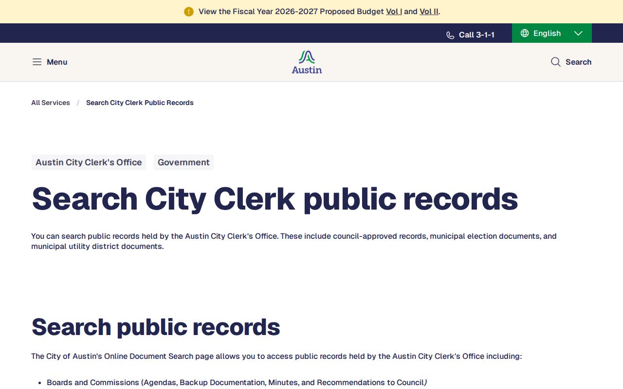
Appointments can be required for signatures and some requests, so the public-record route is an access channel rather than a promise that every document is immediately online.
For a city enforcement record, the Austin Code Citizen Connect complaint search accepts an address, case ID, or region, with map and date-range filters.
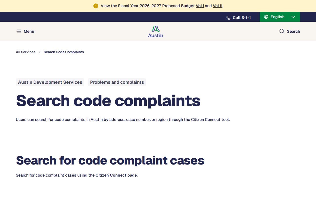
A code result is an address-linked case record. It may identify an owner, complainant, inspector, responsible party, or contractor while other details remain withheld. It does not identify all people associated with the address.
Travis Neighbor Records Versus People
A block record should be read by its subject. GIS describes geography. TCAD describes an appraisal account. A deed describes a transaction. A voter result describes registration status. The Community Registry describes an organization. A dated directory describes a publication snapshot. Converting any one of those into a claim about a current person is the central error to avoid in neighbor research.
| Official source category | What it is anchored to | Commercial neighbor-tool category |
|---|---|---|
| GIS, TCAD, deed, registrar, and city records | A parcel, transaction, government status, or dated city record with a custodian and access rules | May combine public indexes, self-reported data, marketing data, or older address associations |
| Community Registry | An organization’s public boundary, meeting, contact, member-count, and update context | May present a compiled neighborhood view without the underlying parcel or record date |
Official records have their own gaps and are not a household roster. Commercial neighbor tools are not authoritative substitutes for TCAD, recorded deeds, GIS, voter statutes, or a current local registrar. Prefer the original source and its date, then leave unstated anything the record does not establish.
Note: Preserve the original source and date so a block observation can be checked without extending its meaning.
Travis Neighbor Access Alternatives
When a map or account search fails, use Austin Address Management Services to check jurisdiction, street-name history, valid range, or unit formatting. Its published contact routes include phone and email for addressing questions. For an address in a non-Austin municipality or unincorporated area, contact that city or county development or addressing custodian instead of assuming the Austin systems hold the record.
For dated block context, turn to Austin History Center criss-cross and city directories, Travis County Archives appointments, library terminals, microfilm, newspapers, historical tax rolls, and deeds. Public Information Act requests can seek existing address-index, permit, code, or map records. They cannot compel a custodian to create a current resident list. Mail, email, in-person counters, and archives research remain valid routes when an online search reaches a gap.
Privacy Limits for Travis Neighbors
Household members, temporary occupants, confidential-program participants, and utility or delivery customers can be absent from every public source. Texas voter guidance protects Social Security, driver-license, and DPS identification information, while protected voters can use confidentiality routes such as web suppression and the Attorney General Address Confidentiality Program. Recorded instruments can carry redactions, and motor-vehicle personal information is constrained by the federal Driver’s Privacy Protection Act. Do not reconstruct a protected location from separate records when an official custodian has withheld it.
Lawful use. Use Travis neighbor records for personal, lawful research, family history, civic context, or a property question. Public availability never permits stalking, harassment, intimidation, threats, or publishing protected details.
Texas harassment and stalking laws remain relevant even where an individual record is public. A concerning contact pattern should be preserved and taken to the appropriate authorities or counsel rather than answered with more record gathering.